Boost measurement speed for greater profitability.
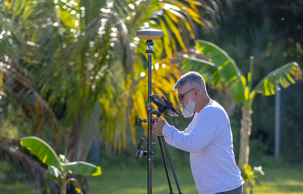
Traditional Survey
Accuracy is everything in land and cadastral surveying—your reputation depends on it. That’s why professionals trust our equipment for boundary surveys, civil engineering, control point setting, and topographic recording. Known for precision and reliability, we help ensure you get it right every time.
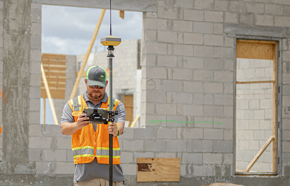
Construction Survey
Contractors face daily demands to work faster, more accurately, and more efficiently to stay profitable. Our solutions are built to meet these challenges—delivering precise layout, stakeout, quality control, and verification results, even in tough site conditions.
Technical advantages
Boost efficiency with seamlessly integrated hardware and software bundles.
Durable, ruggedized equipment you can rely on for the long haul.
Quick ROI driven by enhanced productivity.
Intuitive, compatible and integrated workflows
Field Productivity Solution
Experience the power of our intuitive software paired with robotic total stations and GNSS instruments, engineered for rugged, military-grade field controllers. This preferred technology bundle enables field crews to capture or lay out more points in less time, boosting efficiency on every job.
GNSS Receivers and Correction Services
Topcon GNSS delivers reliable, high-accuracy positioning with superior tracking—even in challenging environments like areas with overhead obstructions. Combined with Topnet Live global correction services, you gain precise GNSS positioning anywhere worldwide, no base station required.
Our intuitive data-management workflows cover all survey applications, ensuring fast and accurate data exchange between field and office teams.
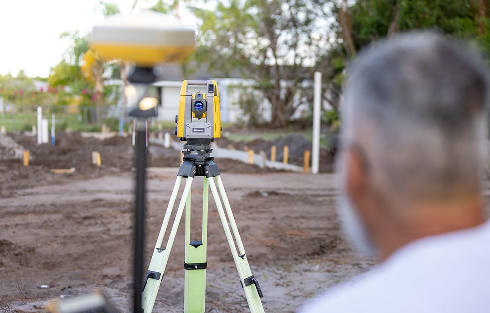
Advanced Hybrid GNSS and Total Station Control
Surveyors using robotic total stations can boost productivity by integrating GNSS capabilities, allowing effective operation across nearly any terrain. This hybrid method enables accurate point capture with fewer setups, even without a clear line of sight.